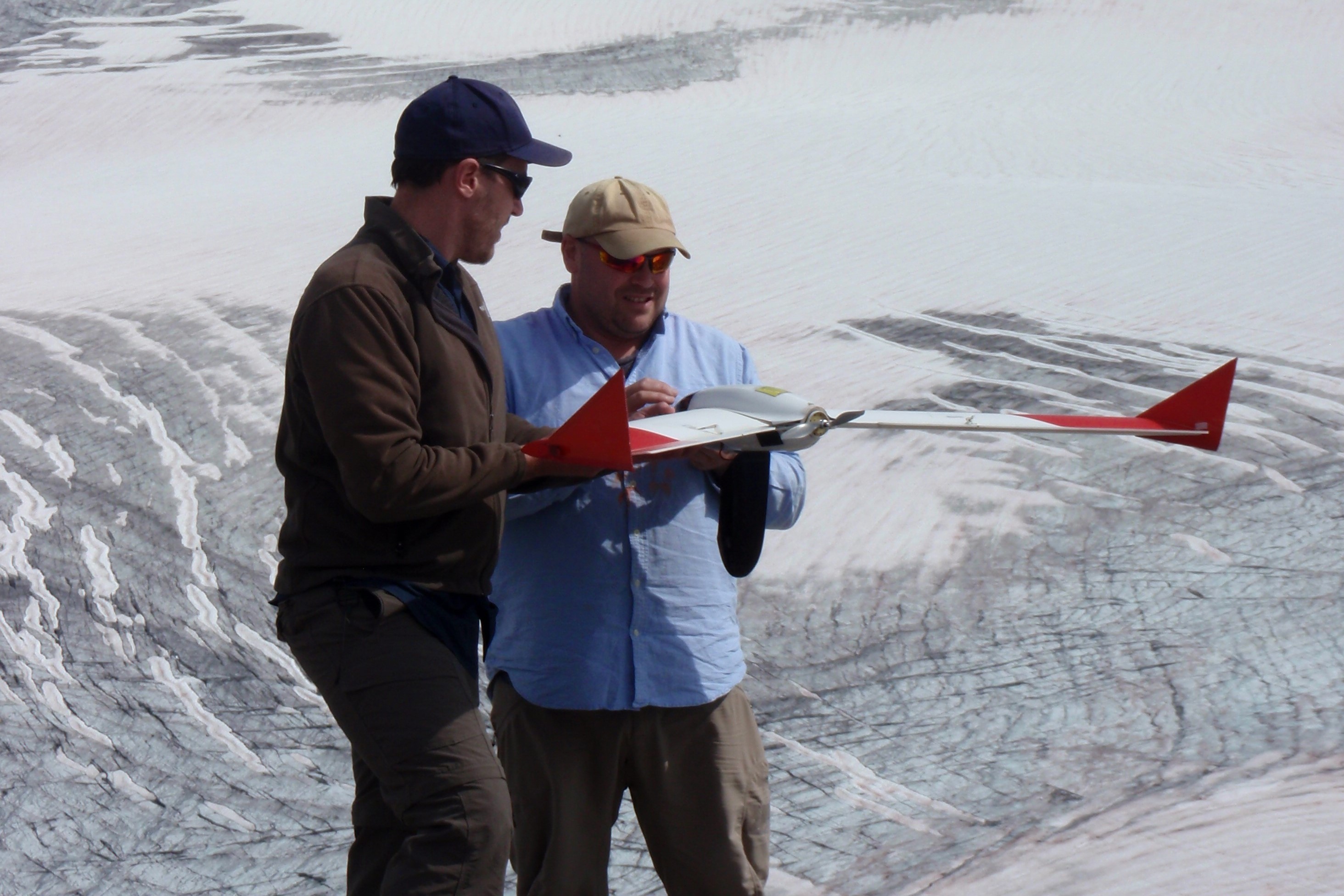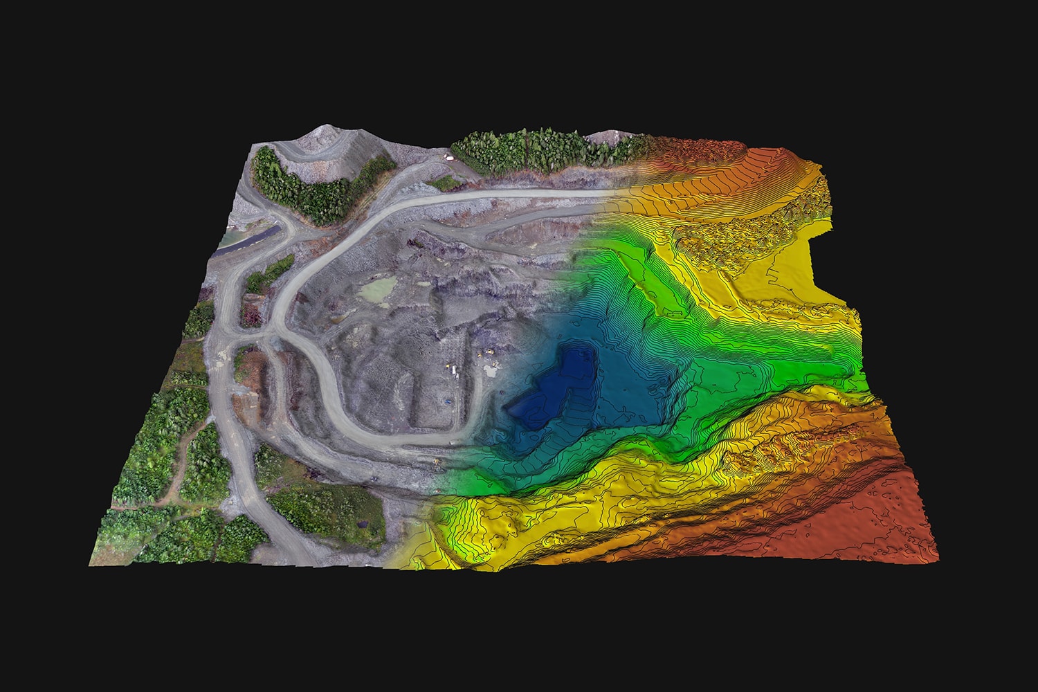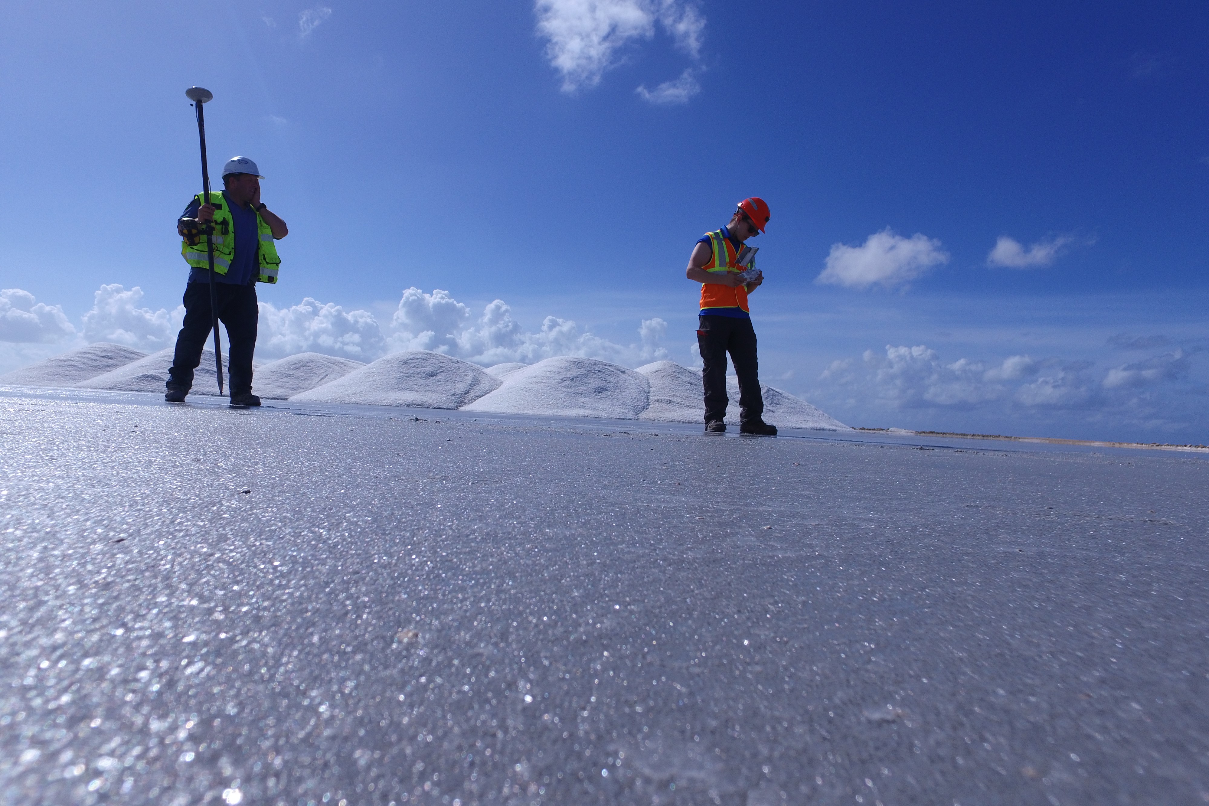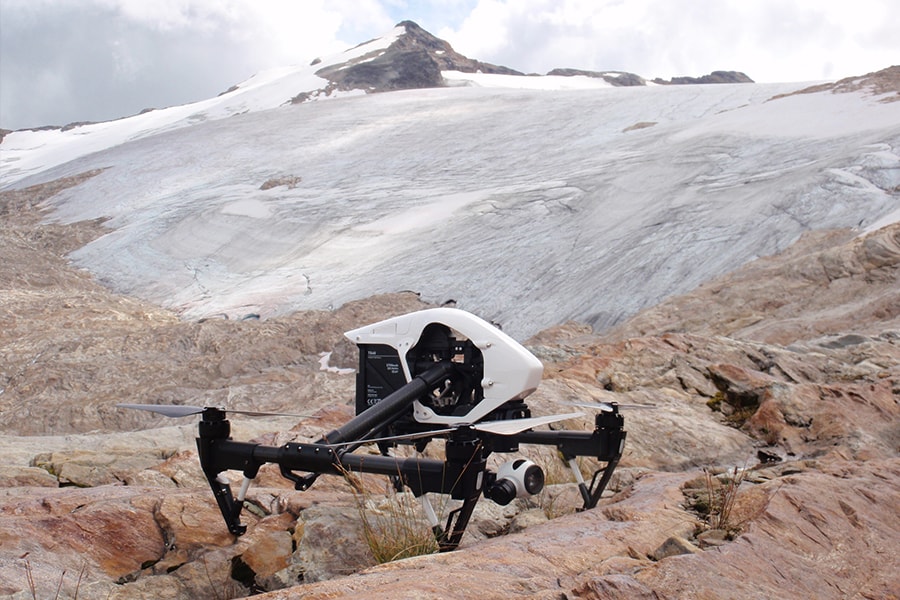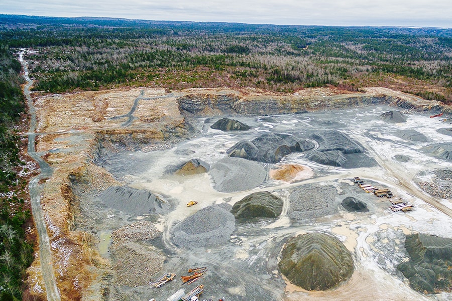
At Terrane, we leverage the latest geospatial data technologies from data collection through to advanced analysis. Clients can expect Terrane to provide solutions that incorporate a fully IT-integrated approach to geoscience data collection, interpretation and management.
Key services:
- Televiewer data acquisition and interpretation
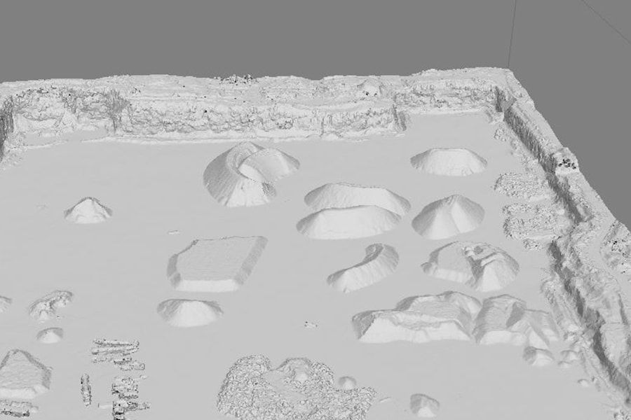
- 3D Modelling of mines, tunnels, bridge foundations, and quarries
- Terrestrial LiDAR
- UAV orthoimagery, digital terrain modelling, and analysis
- Change detection, site monitoring
- Site topography
- Reclamation plans
- Stockpile volume estimation
- GIS


